Mentioned:Naval Air Warfare Center Aircraft Division
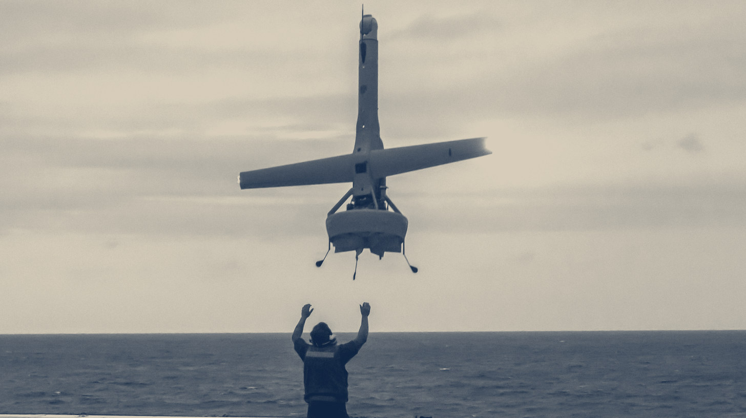
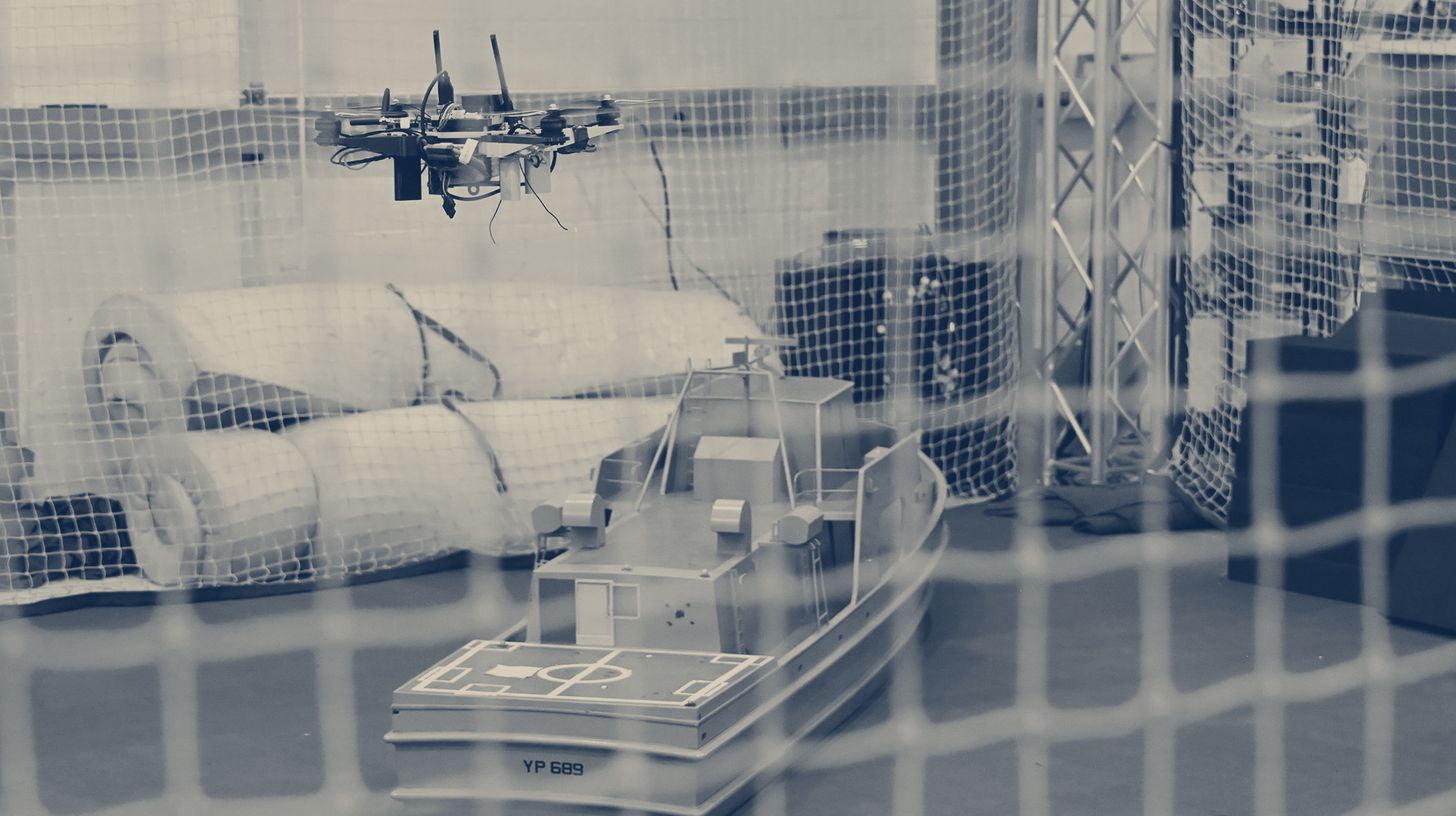
The Naval Air Warfare Center Aircraft Division successfully demonstrated an unmanned system capable of autonomous ship landings without GPS or pilot control, using only onboard cameras and motion sensors paired with advanced guidance software. The capability eliminates expensive radar systems and ship modifications, enabling rapid scaling across Navy drone platforms.
What's happening
- NAWCAD completed live-flight demonstrations proving a tactical drone can execute recoveries on a pitching vessel without satellite navigation by using commercial-standard cameras and motion sensors.
- The system pairs a UAS's mission cameras with advanced guidance, navigation, and control software that predicts the ship's deck movement in real time to achieve smooth landings.
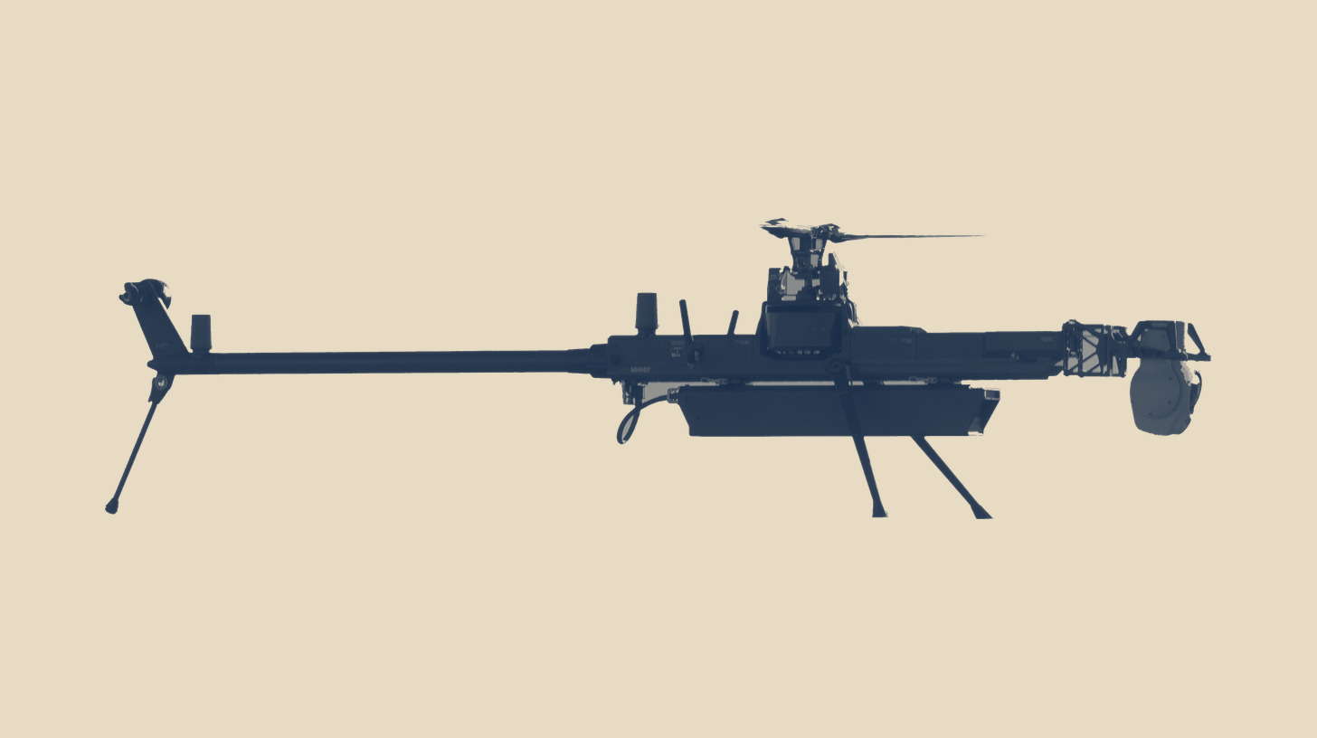
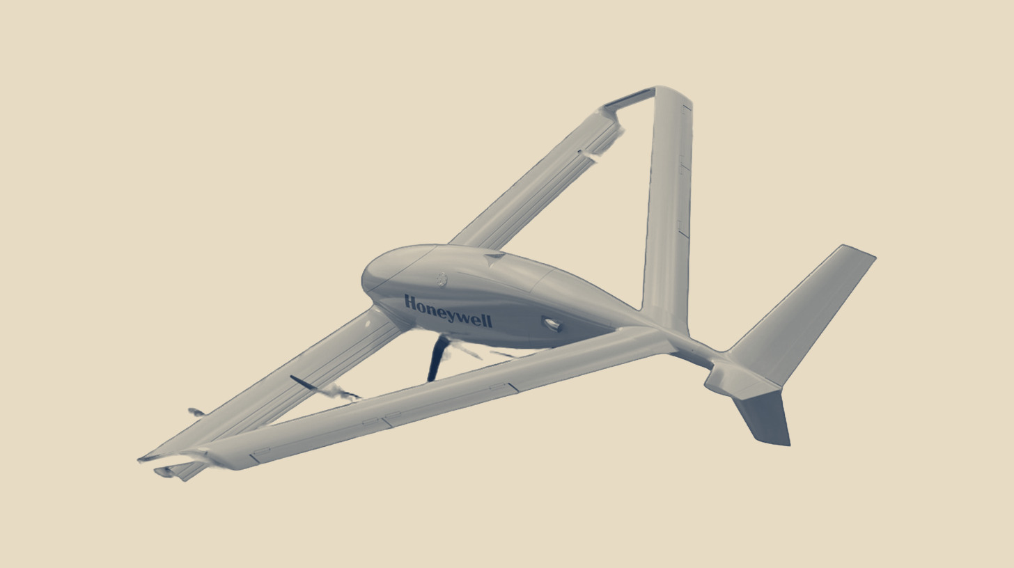
- The modular software-driven approach works with nearly any UAS computer hardware and scales across unmanned systems from small tactical quadcopters to large combat-class aircraft.
- NAWCAD plans operational testing on fleet platforms and is working with program offices to transition the capability into the Navy's Small Tactical Unmanned Aircraft Systems program, Collaborative Combat Aircraft program, and DARPA's EVADE project.
Why it matters
- GPS denial in contested maritime areas threatens traditional UAS recovery methods that depend on satellite navigation and multimillion-dollar radar systems, creating urgent operational vulnerability across the distributed fleet.
- Software-only solutions eliminate months-long ship modification timelines and space-constrained deck installation requirements, accelerating deployment of autonomous capability across existing platforms without capital-intensive infrastructure.
- Scaling GPS-denied autonomy across tactical drones and collaborative combat aircraft expands contested-environment operational reach while reducing per-platform recovery equipment costs significantly.
- The technology directly addresses high-end maritime conflict scenarios where adversaries target GPS as the first operational link to sever, protecting mission continuity for distributed naval operations.
Going deeper
- The guidance and control algorithms track relative ship movement and recognize visual cues from a vessel's shape to guide flight paths, mimicking human pilot decision-making during dynamic approach and landing phases.
- Funding came through the Naval Innovative Science and Engineering Program and the Office of Naval Research, indicating investment in exploratory development before transition to acquisition programs.
- Initial flight demonstrations are complete, positioning the software for operational testing on active fleet platforms with multiple program offices coordinating integration timelines.
The fine print
- Operational testing on fleet platforms remains ahead, meaning performance in real-world sea conditions with active tactical systems has not yet been validated at scale.
- Integration into Small Tactical Unmanned Aircraft Systems, Collaborative Combat Aircraft, and DARPA EVADE program pipelines is still being coordinated with program offices, with no firm transition dates disclosed.
Source: seapowermagazine.org · Oct 14, 2026 · Drafted with Claude, reviewed by Industrial Base Alpha.